
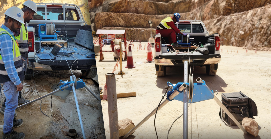
In the intricate world of geology, understanding the subsurface is pivotal. Traditional methods often involve educated guesses and extrapolations based on surface observations or limited subsurface data. However, with the advent of advanced technologies, Borehole Imaging has emerged as a groundbreaking tool, offering geologists the ability to visualize the unseen world beneath the Earth’s surface with unprecedented clarity and precision.
Understanding Borehole Imaging
Borehole imaging is a technique that uses various sensors and imaging tools to capture detailed images of the subsurface through boreholes. These images provide critical insights into the geological formations, helping in the identification of fractures, rock layers, and other subsurface features.
Importance in Geological Studies
The significance of borehole imaging in geology cannot be overstated, as it offers several advantages:
- High Resolution: It provides high-resolution images that are crucial for detailed analysis.
- Real-Time Data: Enables the collection of real-time data, facilitating immediate decision-making.
- Comprehensive Analysis: Allows for a comprehensive analysis of geological formations, enhancing the understanding of subsurface structures.
- Cost-effectiveness: Reduces the need for extensive drilling, cutting down on exploration costs.
Technological Advancements in Borehole Imaging
Recent advancements in technology have significantly improved the capabilities of borehole imaging tools. These innovations have led to the development of more sophisticated imaging solutions that offer greater depth and resolution.
Key Technologies
Some of the key technologies driving improvements in borehole imaging include:
- Acoustic Imaging: Utilizes sound waves to create images of the borehole walls, particularly useful in identifying fractures and faults.
- Optical Imaging: Employs high-resolution cameras to capture visual images of the borehole interior, allowing for direct observation of rock formations.
- Multi-sensor Platforms: Integrate multiple sensors to provide a more comprehensive view of the subsurface.
Applications in Various Geology Fields
The applications of borehole imaging are wide-ranging, impacting various fields within geology:
Oil and Gas Exploration
In the oil and gas industry, borehole imaging is invaluable for:
- Identifying potential hydrocarbon-bearing formations.
- Assessing reservoir quality and structure.
- Optimizing drilling and production strategies.
Mineral Exploration
For mineral exploration, borehole imaging aids in:
- Mapping mineralized zones with precision.
- Understanding ore body geometry.
- Evaluating the feasibility of mining operations.
Future Perspectives
The future of borehole imaging is bright, with ongoing research and development poised to further enhance its capabilities. As geologists continue to push the boundaries of what is possible, borehole imaging will undoubtedly play a central role in unlocking the mysteries of the Earth’s subsurface.
Conclusion
Borehole imaging represents a paradigm shift in geological exploration and analysis. By providing a window into the unseen, it not only enhances our understanding of the Earth’s interior but also drives more informed decision-making across various industries. As technology continues to evolve, the promise of borehole imaging is only set to grow, revolutionizing the way geologists and related professionals approach subsurface studies.